Alpine Pedal Path
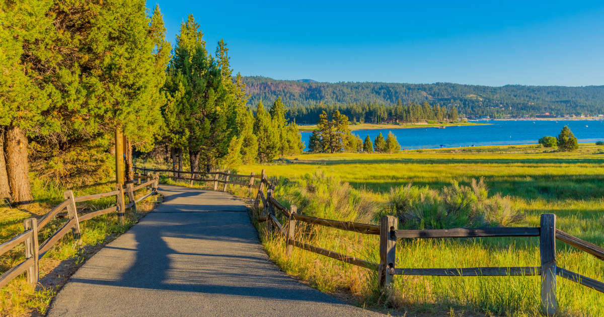
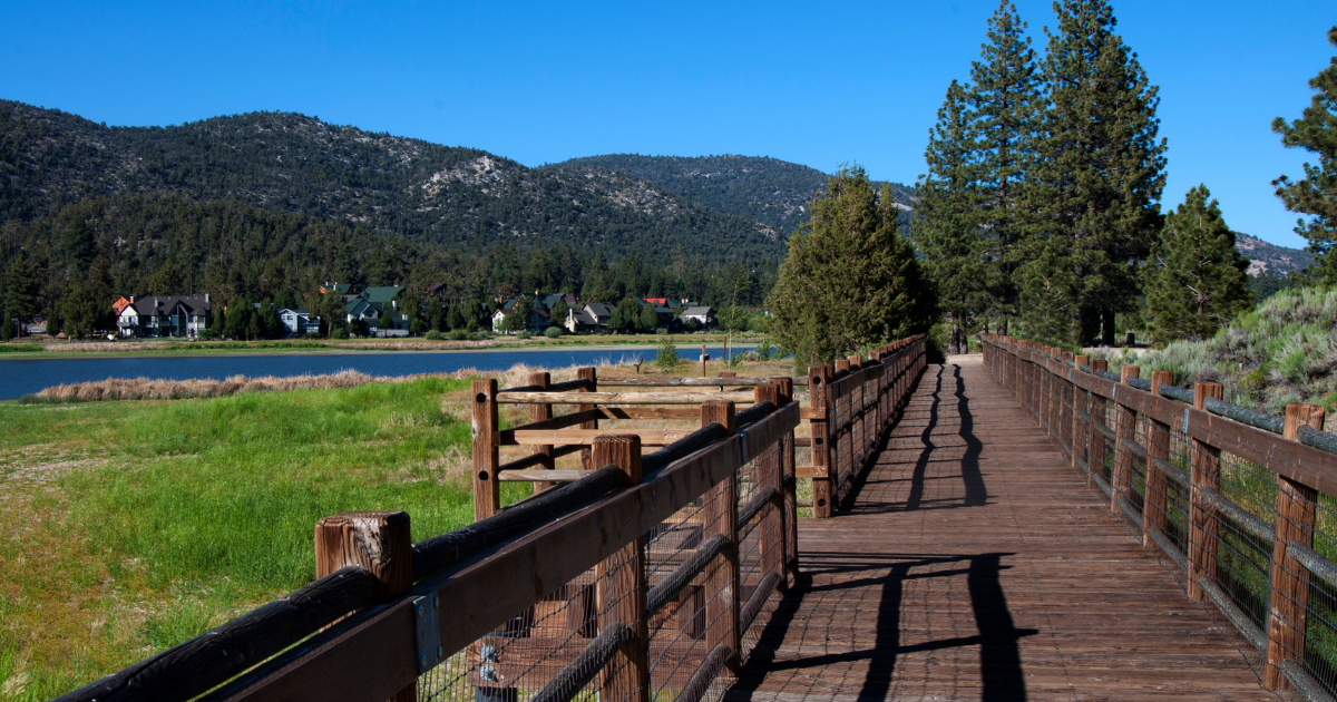
Explore the scenic 3.2-mile paved Alpine Pedal Path along Big Bear Lake's north shore. Perfect for walking, biking, and enjoying stunning mountain views.
Length/Distance
3.2 paved pathway
Elevation
Minimal
Difficulty Level
Easy
Dogs
A Guide to the Alpine Pedal Path - Big Bear Lake
Overview:
- Location: North shore of Big Bear Lake, California.
- Length: 3.2 miles (official length of Trail 1E50 from Stanfield Cutoff to Serrano Campground).
- Surface: Smooth and paved throughout.
- Suitability: Ideal for walkers, runners, cyclists, strollers, and children.
- Pet-Friendly: Leashed dogs are welcome.
- Key Feature: Offers stunning panoramic views of Big Bear Lake and the San Gorgonio Mountains.
Trail Experience:
- Scenic Views: Enjoy breathtaking vistas of Big Bear Lake with the dramatic backdrop of the San Gorgonio Mountains, including Bear Mountain and Snow Summit (often snow-capped in winter).
- Sun and Shade: The trail offers a mix of both sunny and shaded sections. Be prepared for warmer temperatures in unshaded areas during summer.
Seasonal Considerations:
- Summer: Expect warm temperatures, especially in unshaded areas.
- Winter: Snowfall and cold weather are common.
- Shoulder Seasons (Spring & Fall): Be aware of potential ice in shaded areas; wear appropriate footwear.
Trail Details:
- Official Trail: The Alpine Pedal Path (Trail 1E50) is officially 3.2 miles long, stretching from Stanfield Cutoff to the Serrano Campground. This is the length recognized by the trailhead sign and the US Forest Service (USFS).
- Online Discrepancies: Some online information may suggest a longer distance due to the presence of connecting trails.
Connecting Trail:
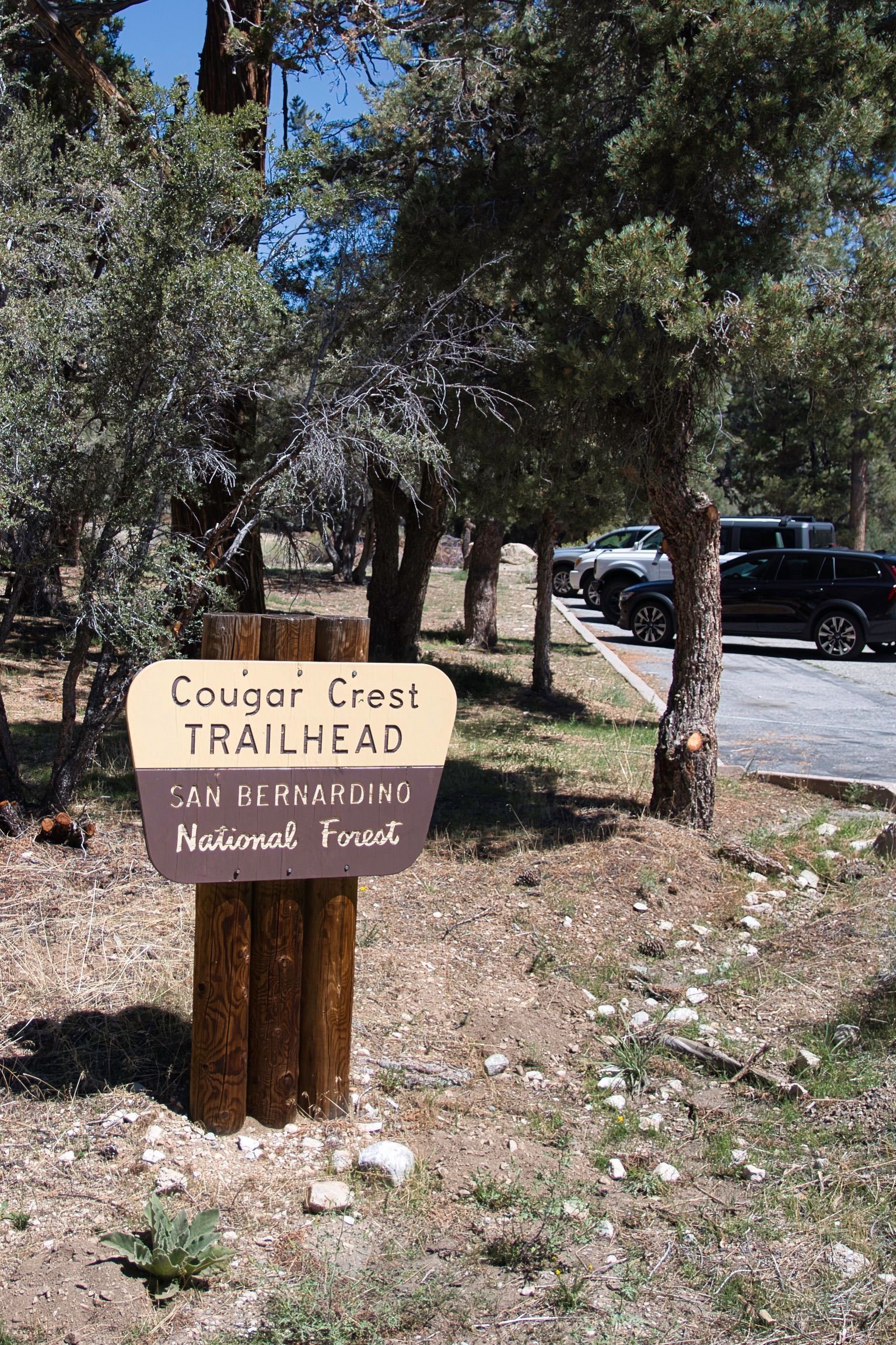
- Alpine Pedal Path Spur (Trail 1E50.1): This spur connects the main Alpine Pedal Path (between Meadows Edge Picnic Area and Serrano Campground) to the Cougar Crest Trail. It extends under Highway 38 via a pedestrian tunnel to the Cougar Crest Trailhead parking lot. From the Cougar Crest Parking Lot, you can access either the Cougar Crest Trail or a path leading to the Big Bear Discovery Center.
Access Points and Parking:
The Alpine Pedal Path is easily accessible with multiple parking options:
Primary Starting Point:
- Stanfield Cutoff: Offers plentiful parking.
Alternative Access Along the Bridge:
- Parallel parking is available along the bridge, with a short walk to the trailhead.
Midway Access Points:
- Juniper Point Picnic Area: Park closer to the middle of the trail.
- Meadows Edge Picnic Area: Another option for parking along the trail.
Access via Connecting Spur:
- Cougar Crest Trailhead Parking Lot: Connects to the Alpine Pedal Path via the Alpine Pedal Path Spur.
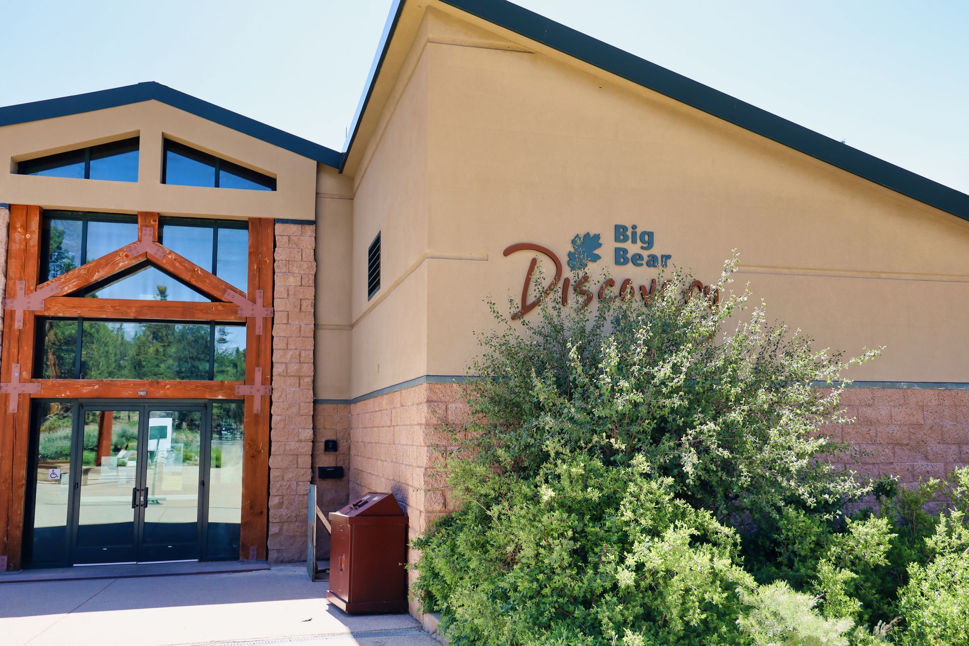
- Big Bear Discovery Center: Accessible via a path from the Cougar Crest Trailhead parking lot, which is connected to the Alpine Pedal Path Spur.
Points of Interest Along the Way:
Picnic Areas:
- Juniper Point Picnic Area: Located approximately halfway along the path.
- Meadows Edge Picnic Area: Situated closer to either end of a chosen segment.
- Serrano Campground: Located at the official eastern endpoint of the Alpine Pedal Path (Trail 1E50). Reservations are recommended for overnight stays.
- Big Bear Discovery Center: Accessible via the Alpine Pedal Path Spur (Trail 1E50.1) from Meadows Edge Picnic Area. Follow the spur through the pedestrian tunnel to the Cougar Crest Trailhead parking lot, then take the short path to the Discovery Center. Offers educational exhibits and interactive experiences.
Beach Access: Several sections of the trail are close to the shoreline of Big Bear Lake, providing opportunities to access the beach for swimming or enjoying the lakefront. Please be mindful of the environment.
Understanding Our Trail Difficulty Ratings: Know Your Limits!
Our trail ratings (Easy, Medium, Difficult) are provided as a general guide to help you choose a suitable hike.
Easy Meaning: Generally flat or gently sloping terrain. Well-maintained paths with minimal obstacles like roots or rocks. Suitable for most fitness levels, including beginners and families with young children. Expect a leisurely and comfortable experience.
Medium Meaning: Involves moderate inclines and declines. The trail surface may be uneven with some roots, rocks, or narrower sections. Requires a reasonable level of fitness and some hiking experience. Expect a bit of a workout and the need to pay more attention to your footing.
Difficult Meaning: Features significant elevation changes (steep climbs and descents). Expect challenging terrain with obstacles like large rocks, roots, potentially slippery surfaces, and possibly exposure. Requires a good level of fitness, experience with more demanding trails, and appropriate gear. Expect a strenuous and potentially technical hike.
Our trail ratings are a general guideline. Your personal fitness, experience, current conditions (weather, trail surface), and any pre-existing health conditions will significantly impact your perception of a trail's difficulty. Always err on the side of caution and choose a trail that aligns with your capabilities.
Dog-Friendly Trails: Hike Responsibly with Your Pup!
Just because a trail welcomes dogs doesn't automatically mean it's the right choice for yours. Always consider the trail's difficulty and potential hazards for your dog's safety.
Big Bear Lake trails can feature dangerous steep hills, high elevations that can be challenging for some dogs, and uneven terrain. Assess your dog's fitness level, breed predispositions, and experience before choosing a hike.
Remember, responsible dog ownership on trails includes:
- Keeping your dog on a leash at all times for their safety, the safety of other hikers and wildlife, and to comply with regulations.
- Always picking up and properly disposing of your dog's waste to keep our trails clean and healthy for everyone.
- Prioritizing your dog's well-being ensures a safe and enjoyable experience for both of you on the trail.
General Hiking Safety: Be Prepared and Stay Safe!
Big Bear Lake trails offer beauty, but be mindful of inherent risks:
- Wildlife: Unpredictable encounters can be dangerous. Prepare by knowing local animals and safe practices.
- High Elevation: Altitude sickness and dehydration are real risks. Acclimatize and hydrate diligently.
- Hazardous Terrain: Falls from uneven surfaces, rocks, and cliffs are possible. Watch your footing and be cautious near edges. Weather changes can worsen conditions.
- Lack of Water/Food: Dehydration and exhaustion are serious threats. Carry ample water and snacks.
- Getting Lost: Disorientation can lead to dangerous situations. Stay on marked trails and carry navigation.
- Inadequate Gear: Lack of proper equipment increases vulnerability. Wear appropriate shoes, layers, and carry a first-aid kit and light.
- Unannounced Hikes: Delays in help during emergencies can be critical. Always tell someone your plans.
Understanding these dangers and preparing accordingly is crucial for a safe and enjoyable hiking experience. By being prepared, aware of your surroundings, and respecting the natural environment, you can significantly enhance your safety and enjoyment on the trails.
Discover More Trails

WildLfe
Add a link
Add a link
Add a link
add a title
Add a link
Add a link
Add a link
add a title
Place an image or any other element you want
Add a link
